https://www.sfchronicle.com/projects/2025/cal-fire-risk-map/
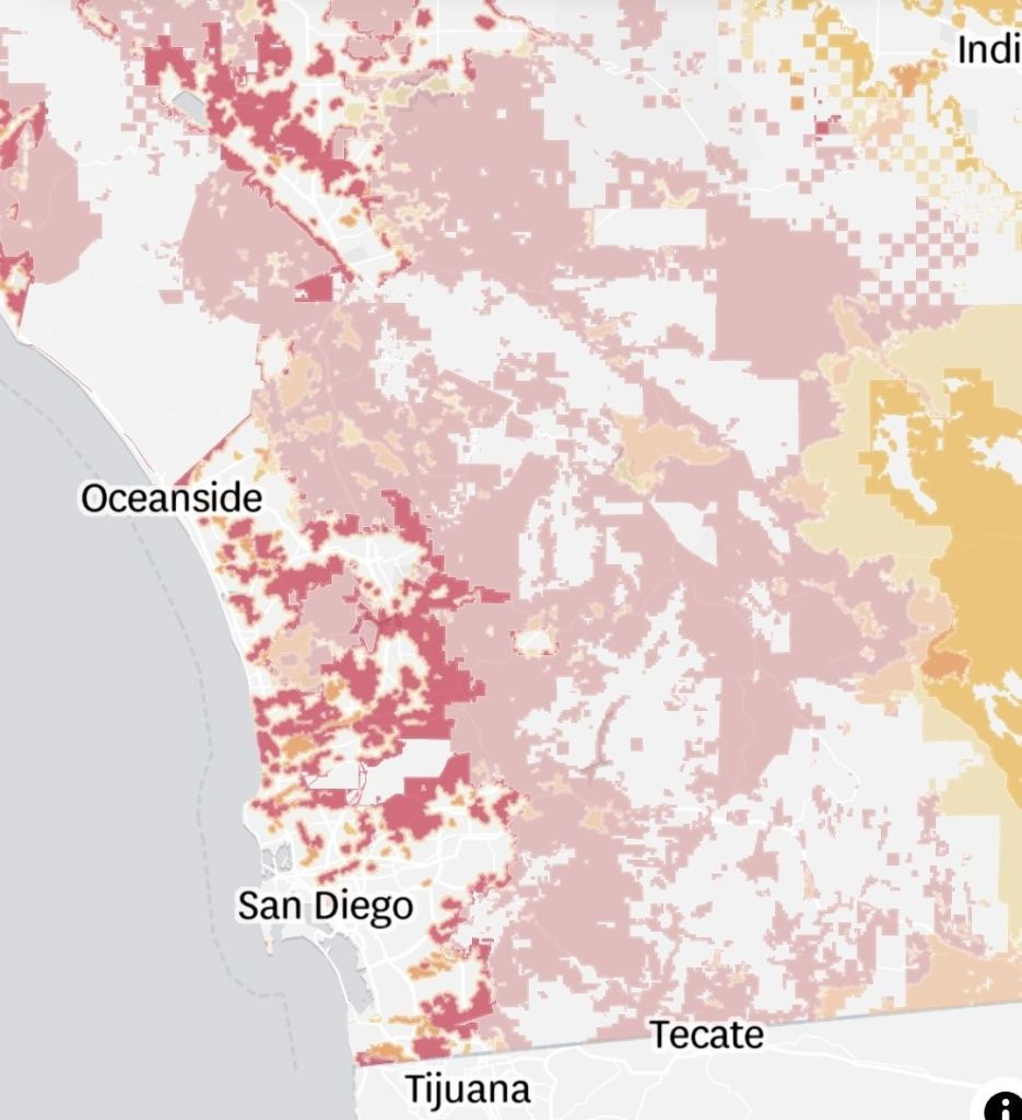
“The new data shows that Cal Fire considers far more of the state to be at risk of fire than when the maps were last published in 2011. This is largely due to improved scientific modeling. The state also expanded the categories to include moderate and high fire hazard severity zones. In 2011 the state only listed acreages considered to be very high fire hazard severity zones.”